Yellow “Kashubian Route”
The Yellow trail of the "Kashubian Route"
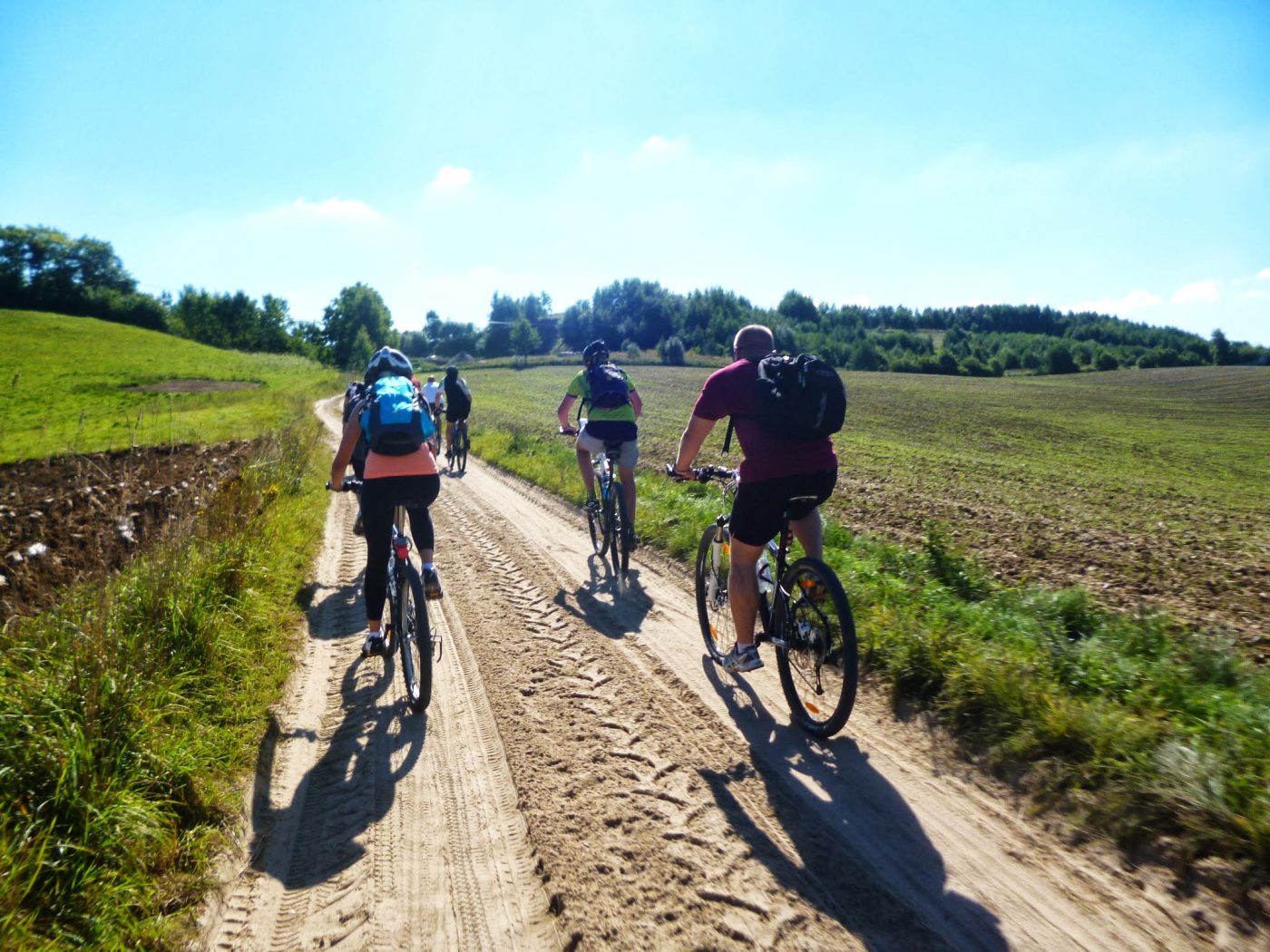
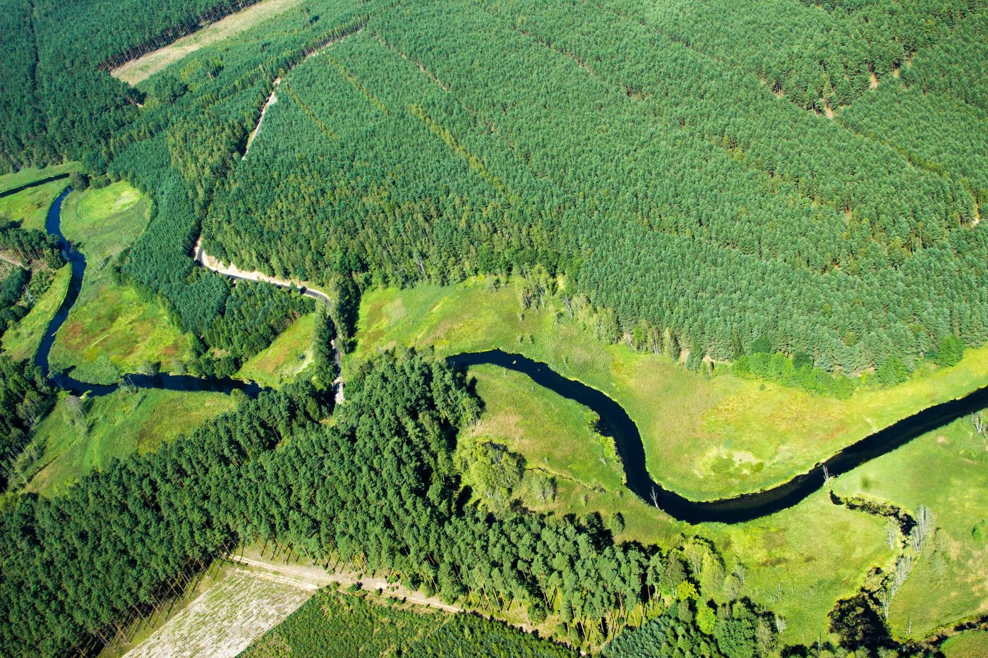
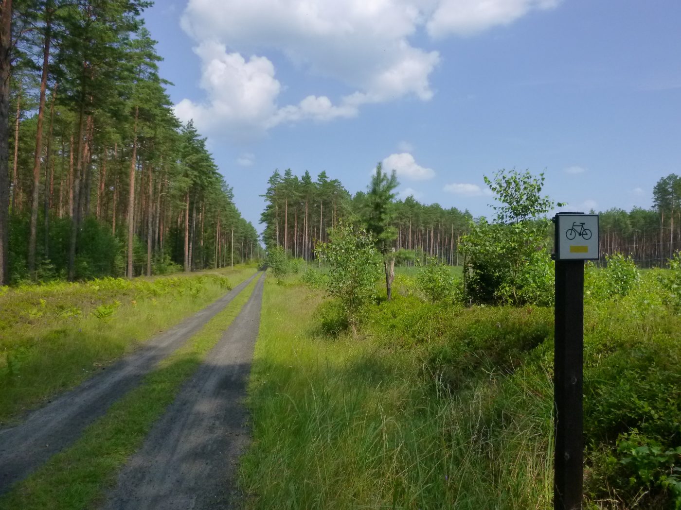
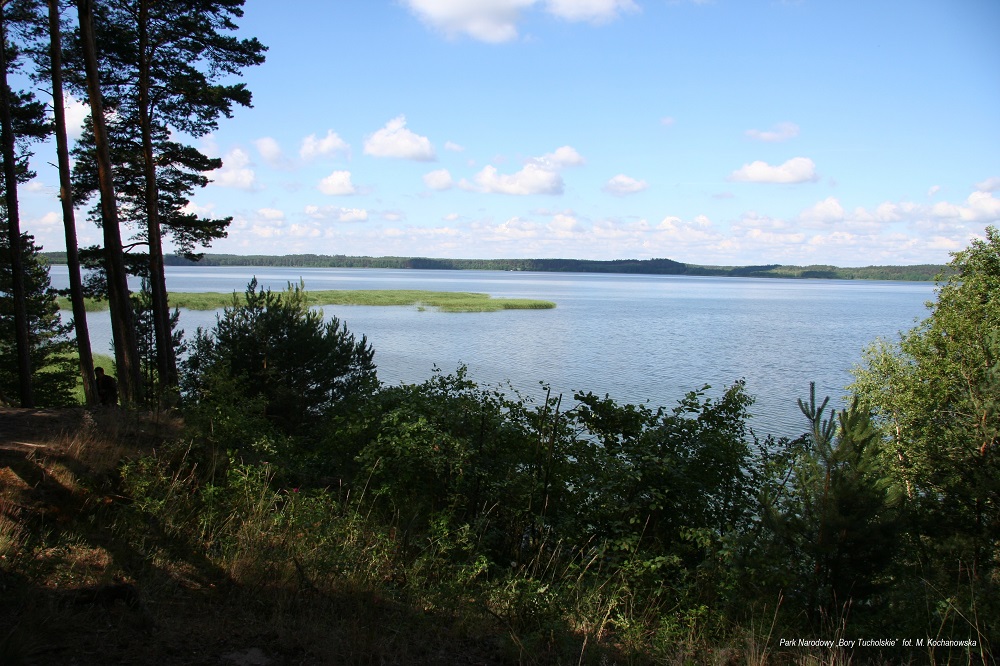
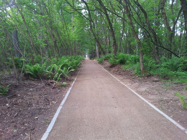
The trail surrounds the “Bory Tucholskie” National Park, leading cyclists through the forests of the Zaborski Landscape Park on the western shore of Lake Charzykowskie, and further along the left bank of the Brda River to Rytel and along the national road to Czersk.
Despite the fact that the yellow trail leads like the red one from Charzyków to Czersk, their only common section is the 10 km part between Chociński Młyn and Drzewicz. This longest, almost 70-kilometer trail of the “Kashubian Route” will certainly satisfy tourists who want to be in touch with the nature of the region and want to learn about its history. The route is fully marked.
Maps of the Trail:
| Distance: | 66 km | Surface: | asphalt, gravel and forest paths |
| Ascent: | 355 m | Bicycle: | any kind of bicycle |
| Descent: | 340 m | Difficulty level: | easy/medium |
| Start point | Charzykowy | Finish point: | Czersk |
| Website | Pomorskie.Travel | Trail Signs: | soon |
Attractions on the trail:
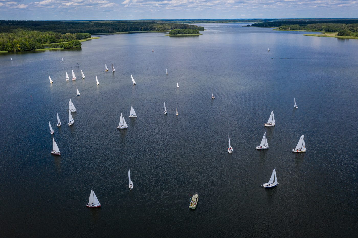
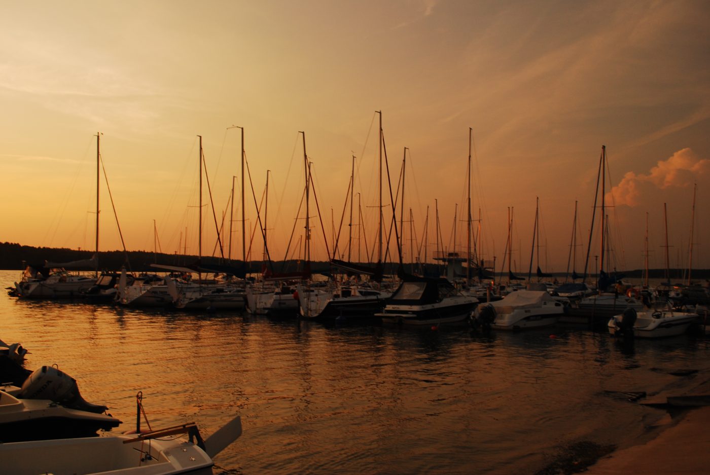
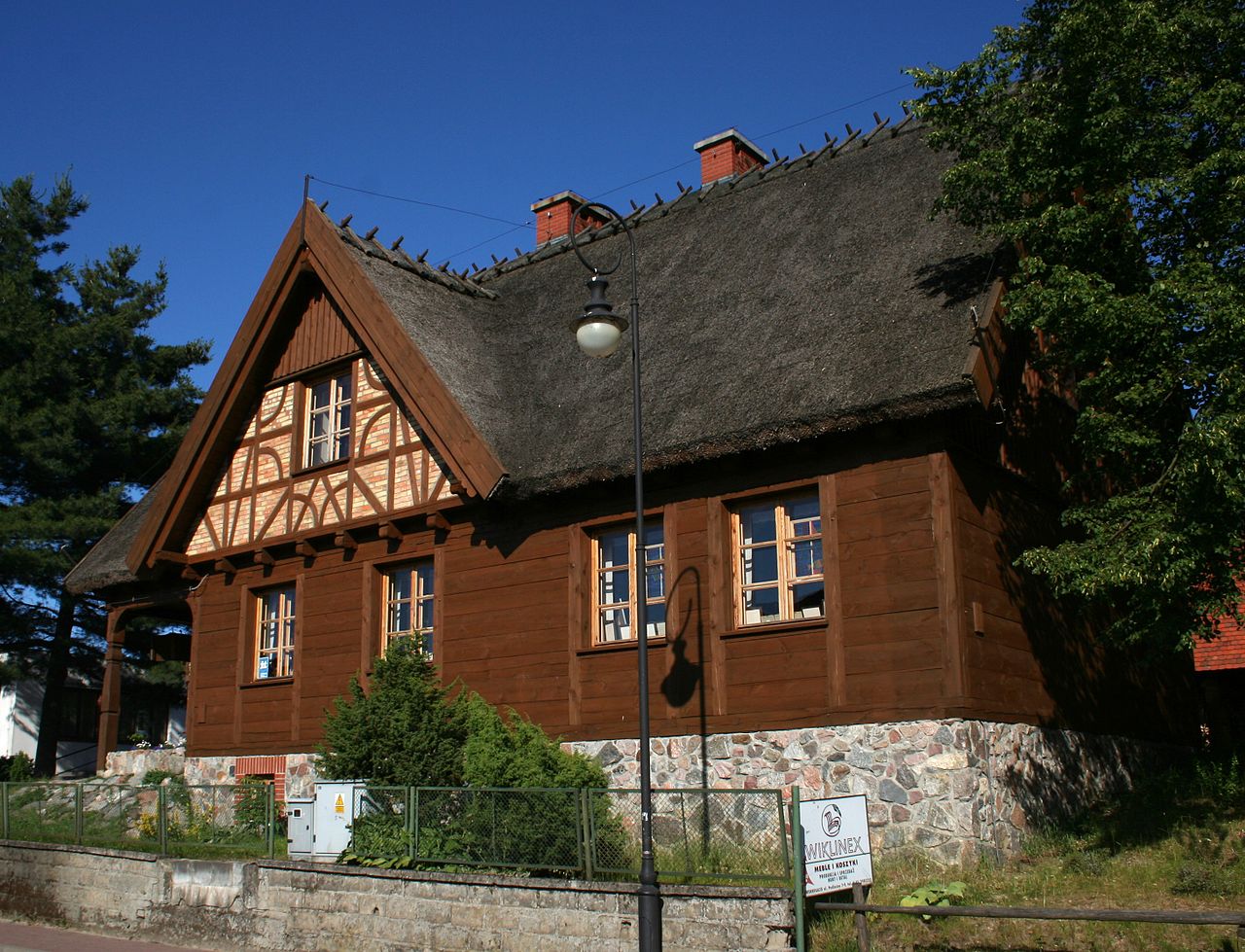
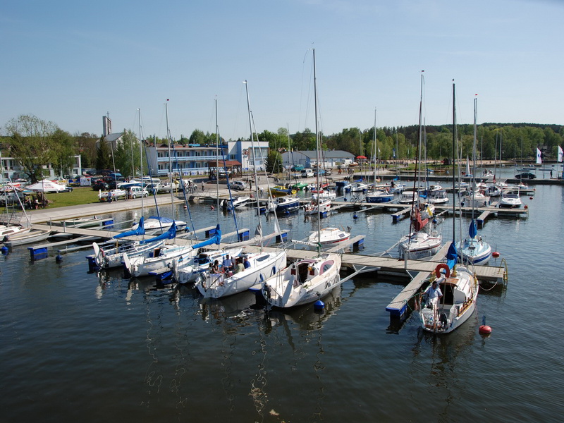
Lake Charzykowskie | Charzykowy | Swornegacie | Mylof | Rytel | Czersk | Bory Tucholskie National Park | Zaborski Landscape Park | Brda river | Chociński Młyn


Proposed stages:
This trail is for a one-day cycling trip. It is part of the “Kashubian Route”. The trail starts in Charzykowy, but You can start from Chojnice (+8.5 km more) and finish in Czersk. From Czersk You can take a train to Chojnice.
How to get on the trail:
To Charzykowy from Chojnice, you can get by car or bicycle. To Chojnice you can get by train. There is a train station. At the end of the tour, you can come back to Chojnice by train.